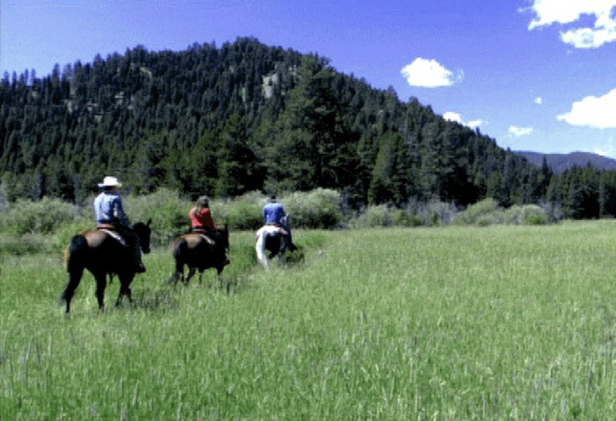
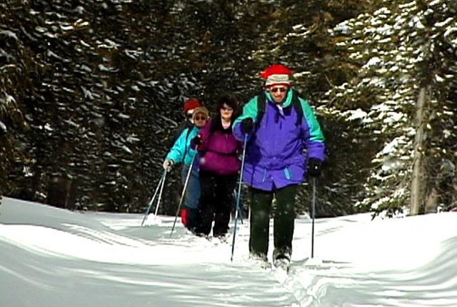
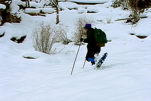
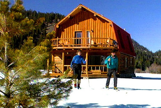
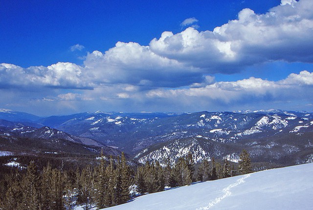
RECREATION
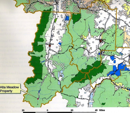
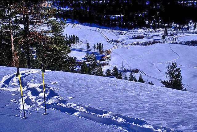
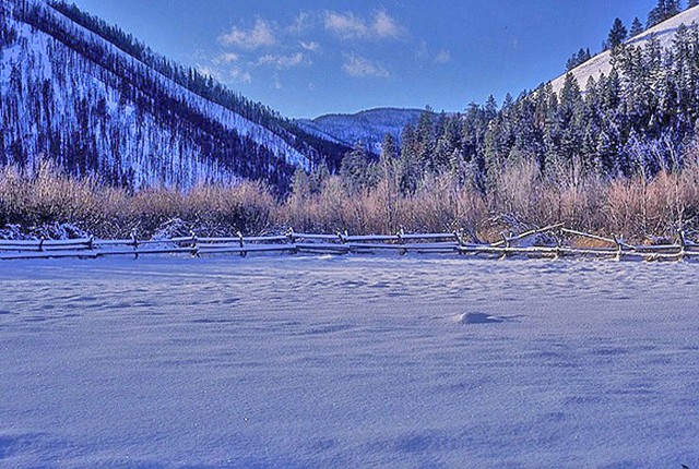
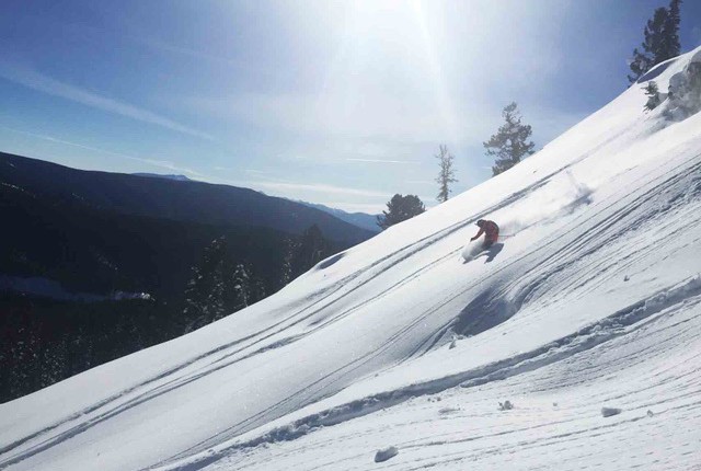
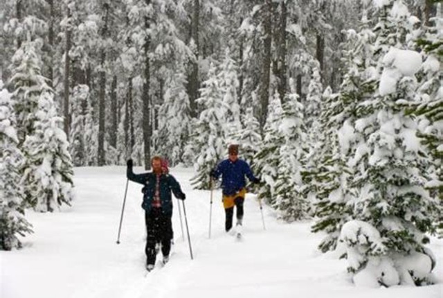
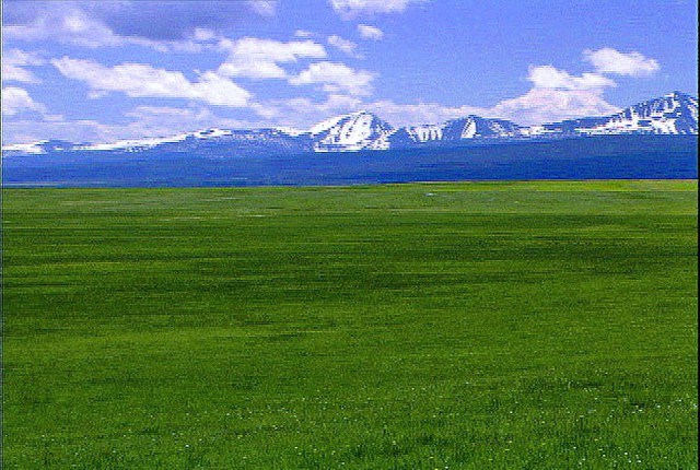
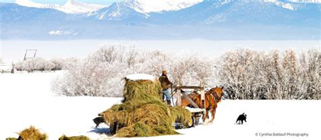
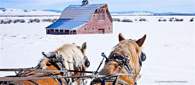
Alta Meadow Ranch is located high in the Bitterroot Mountains in a remote, yet accessible alpine valley surrounded by hundreds of miles of wilderness. Trails and backcountry roads emanate from the ranch in every direction, offering unlimited opportunities to explore this wild and beautiful land. Alta Meadow is a winter wonderland -- ideal for cross-country skiing and snow shoeing; downhill skiing and a dedicated cross-country ski area are nearby.
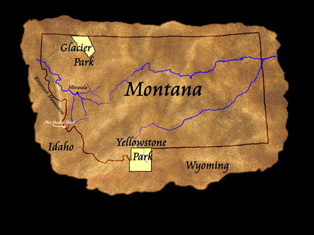
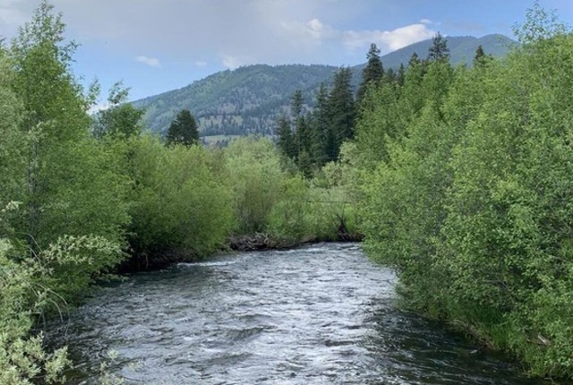
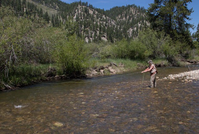
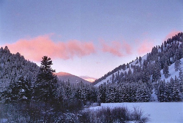
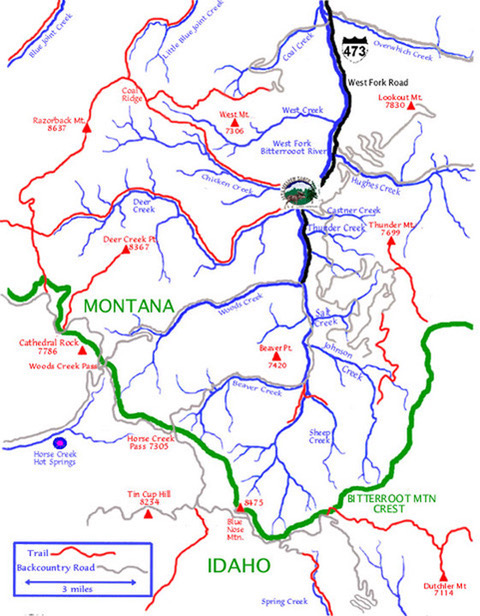
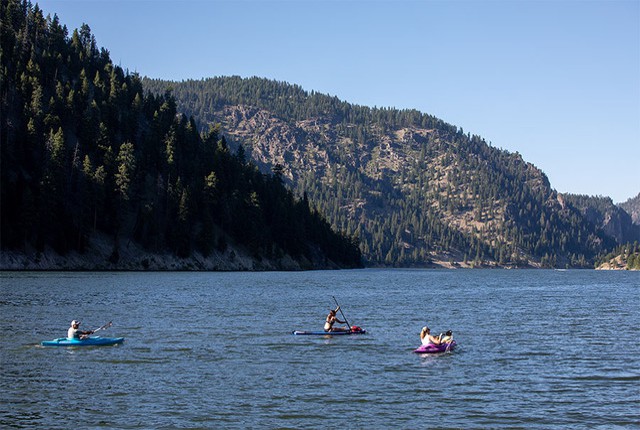
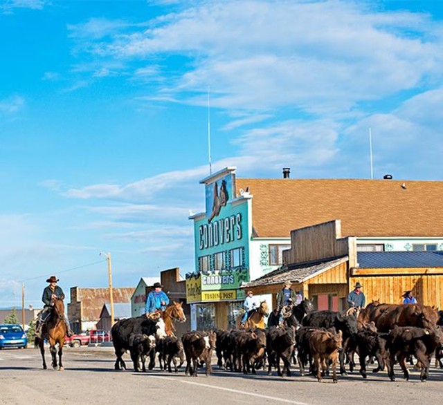
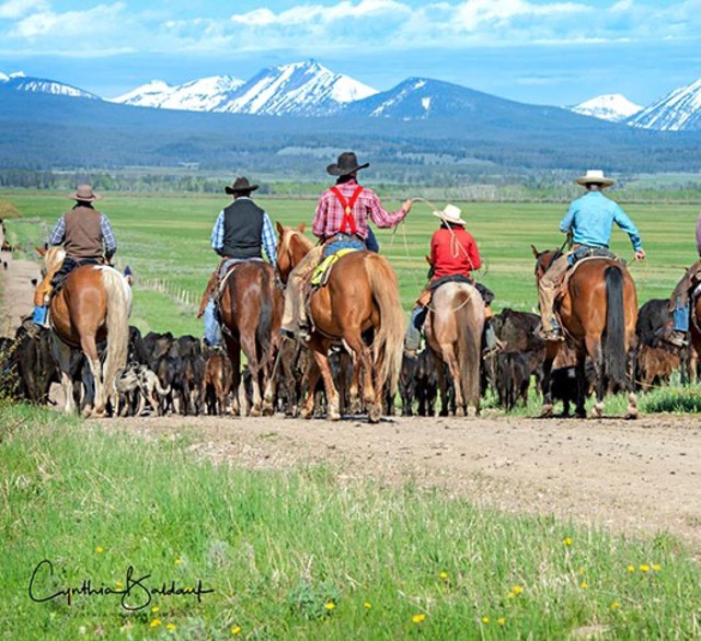
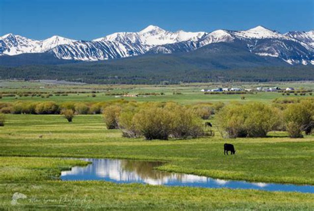
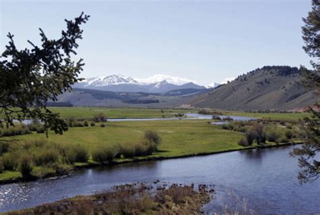
Alta Meadow Ranch is remote in the best sense, offering the privacy of a secluded and still untamed land, while simultaneously residing in the epicenter of a great recreational area - the northern Rocky Mountain wilderness. The ranch is only a scenic day's drive from several exceptional ski areas, as well as Glacier and Yellowstone National Parks. The Bitterroot River and the nearby Salmon River offer superb stream fishing and white water rafting. Alta Meadow Ranch is located in the salient of Montana extending into the central Idaho wilderness -- the least populated region in the lower 48 states.
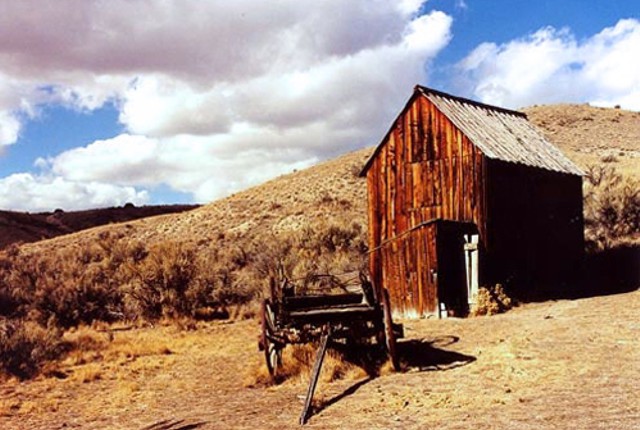
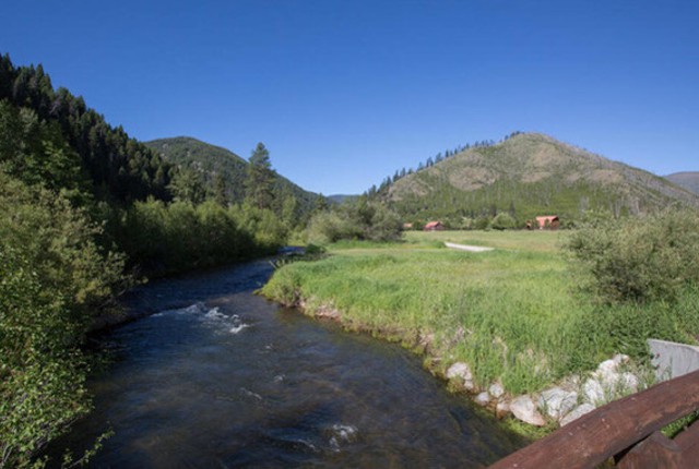
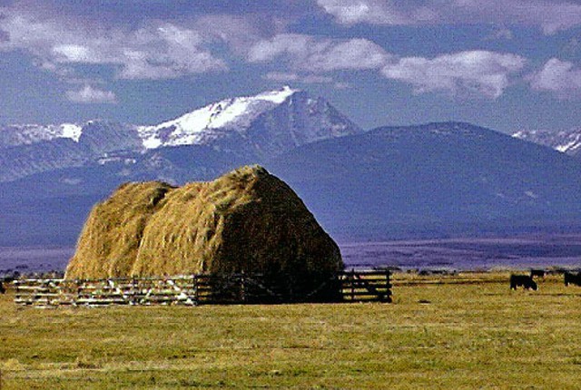
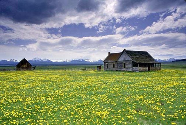
Alta Meadow Ranch is the last private land along the West Fork of the Bitterroot River and is surrounded by USFS wilderness.
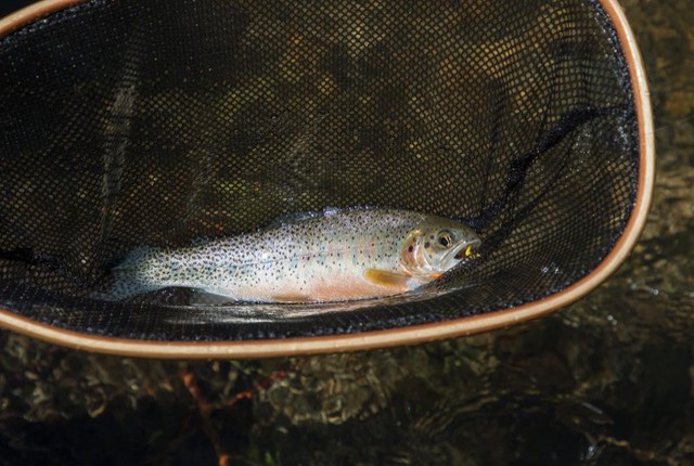
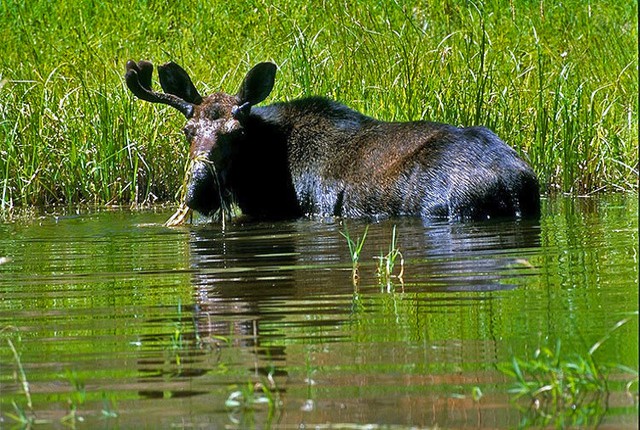
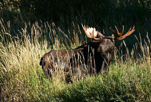
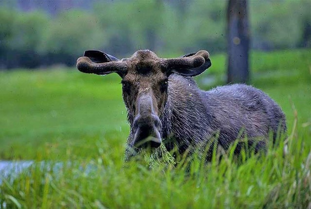
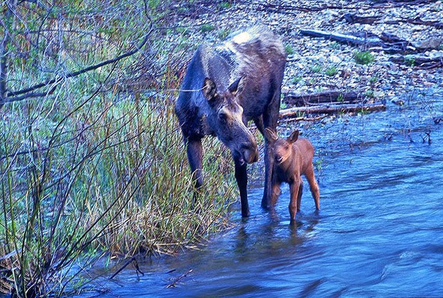
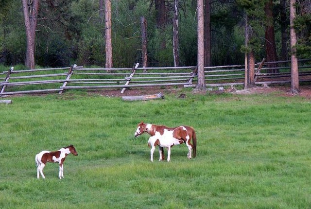
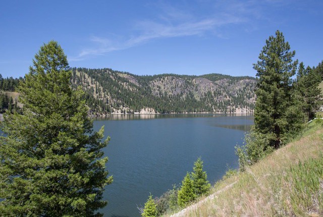
Additionally, there are two fish ponds designated as common areas that are available for owners and their guests. The ponds are stocked with trout by the association. This pond is called Moose 1; Moose 2 is a bit smaller just around the bend.
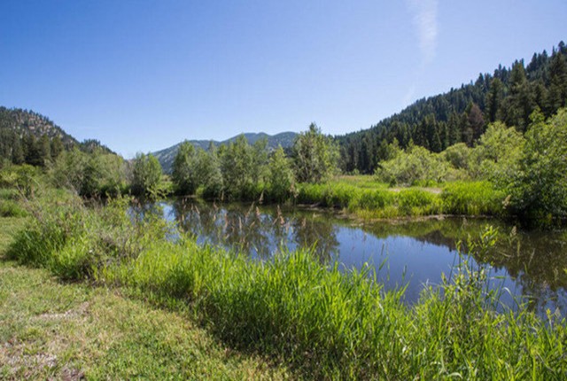
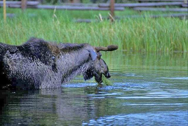


A little later that evening.
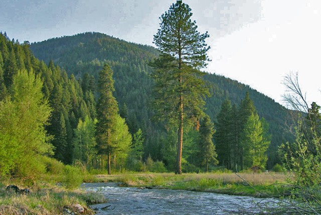
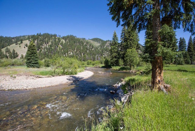
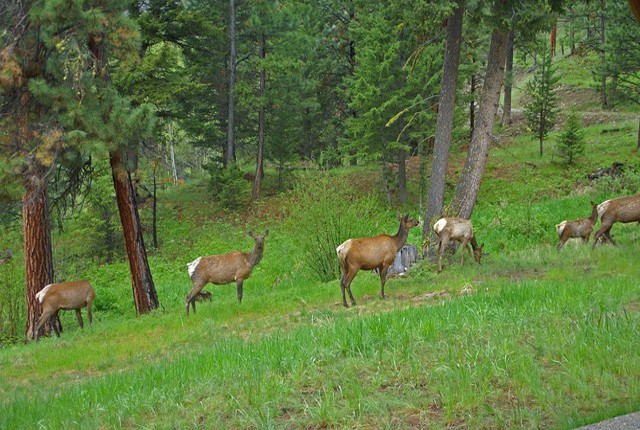
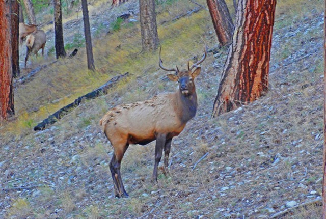
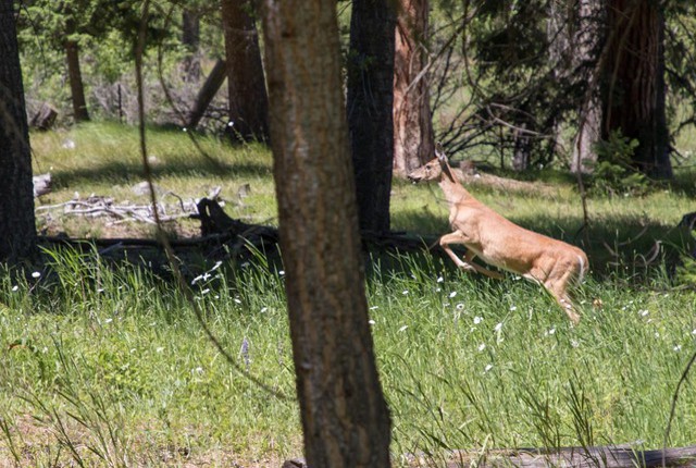
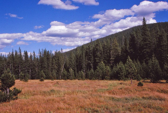
Deer Creek Meadow on the way home.
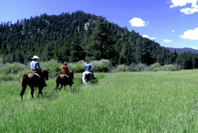
Day trips.
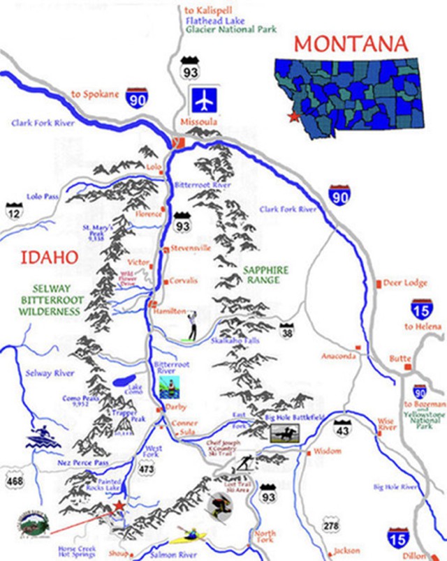
LOST TRAIL PASS
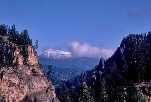
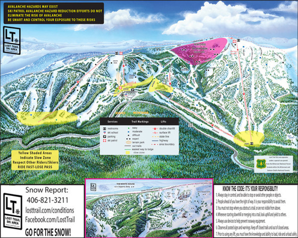
A short drive to the east is Lost Trail Pass, traversed in 1805 by Lewis and Clark on the their epic journey across the continent. It was in the Bitterroot Mountains that the Corps of Discovery met their greatest challenge and most dangerous episode. The pass is considerably less challenging now, and can be reached in one hour from Alta Meadow Ranch. There you can ski the “champagne powder” of Lost Trail Powder Mountain on the slopes just above their path. For more on Lewis & Clark click on the menu link at the bottom of the page.

Here’s the web site for Lost Trail Ski Area: https://losttrail.com/

CHIEF JOSEPH
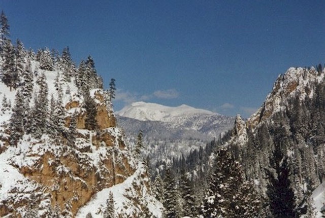
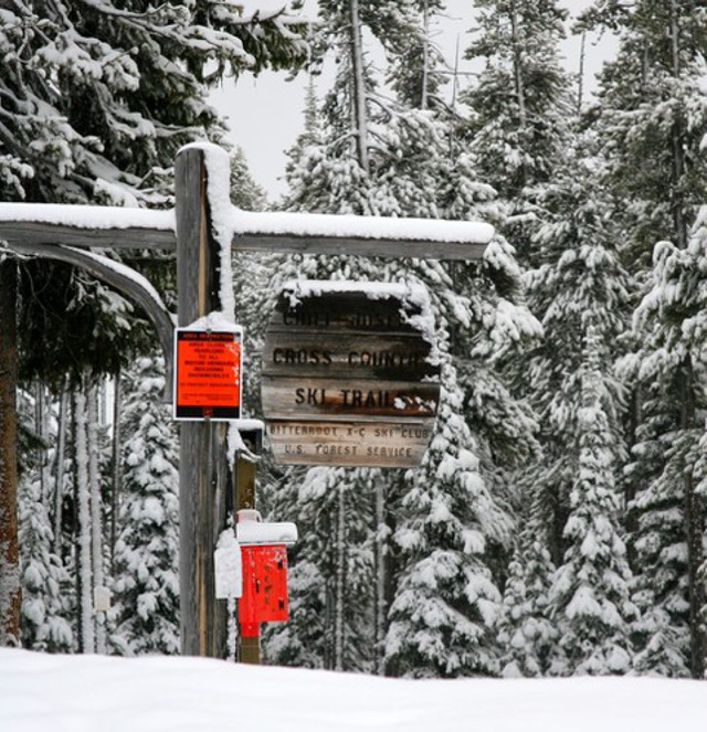
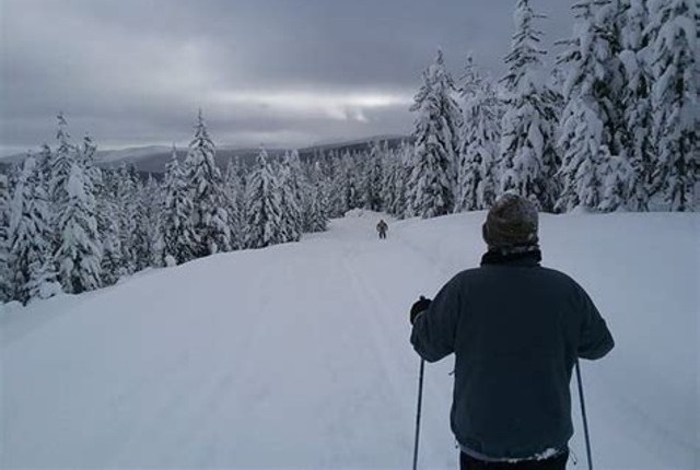
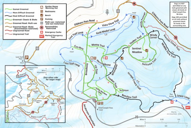
Crossing the Continental Divide about one mile to the east over a pass named for Chief Joseph of the Nez Perce Indians, one encounters a prime cross country ski area also named for him. The ski trails can be accessed from the trailhead at the pass. There you will find over 13 miles of expertly groomed trails to include levels of difficulty appropriate for every skier. Maps can be found at trail junctions, and benches are located at appropriate spots for those needing a break or just a place to enjoy the wonderful views.
For more information: https://www.visitmt.com/listings/general/cross-country-ski-center/chief-joseph-cross-country-ski-trail.html
Trailhead at Chief Joseph Pass.

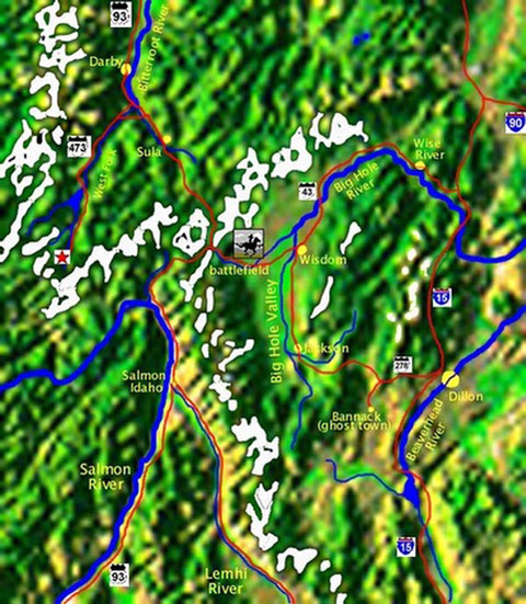
BIG HOLE BATTLEFIELD
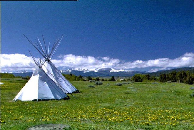
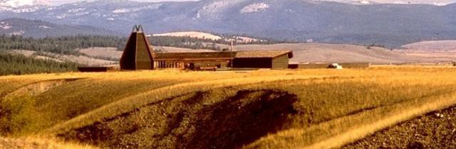
After trekking peacefully through the Bitterroot Valley in 1877, Chief Joseph led his people eastward through the pass now bearing his name, attempting to reach Canada in defiance of the US Government. The first of several battles in this, one of the last Indian wars, took place about fifteen miles further east in the ruggedly majestic Big Hole Valley. The battlefield has been preserved as a national historical monument and there is a very interesting visitor’s center overlooking the site.

For more on the battle: https://www.nps.gov/biho/index.htm


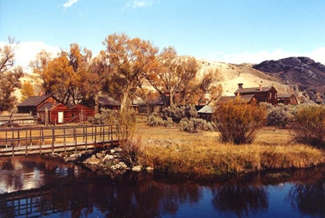
BANNOCK
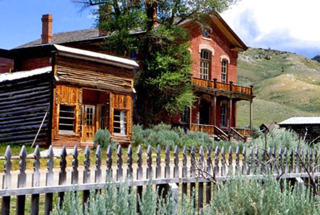
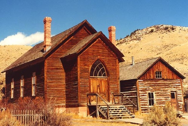
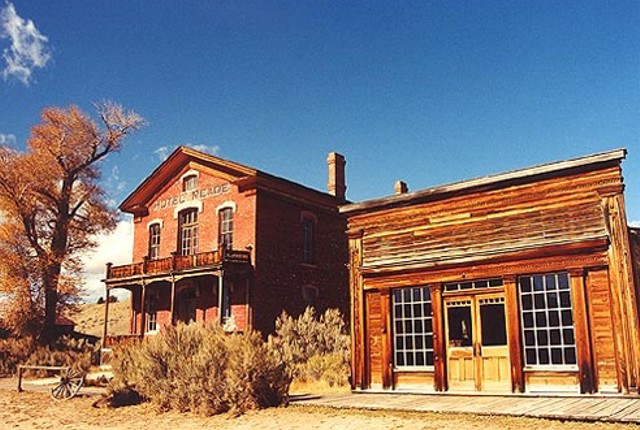
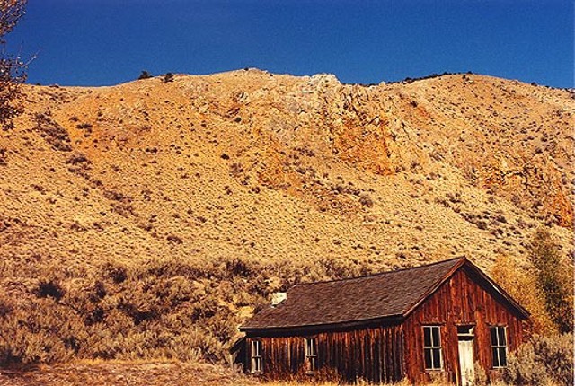
Further south in the Big Hole is the ghost town, Bannock. For several years during the height of its gold rush days Bannock was Montana’s territorial capital. The town is notorious for the saga of local sheriff, Henry Plummer. Rather than being an honest lawman, he found it much more profitable to lead a band of road agents that robbed and murdered miners on the trail to Salt Lake City, where they had hoped to cash in on their diggings. It didn’t end well for Plummer and his gang, as eventually they were caught and wound up swinging from the end of a rope. It’s a very scenic two hour drive from Alta Meadow Ranch to Bannock, and because the buildings are so well preserved and open to the public, it’s well worth the trip.
 For more on Bannock: https://fwp.mt.gov/bannack